September 17, 2005 Mt. Makihata (Border between Gunma and Niigata Prefectures)
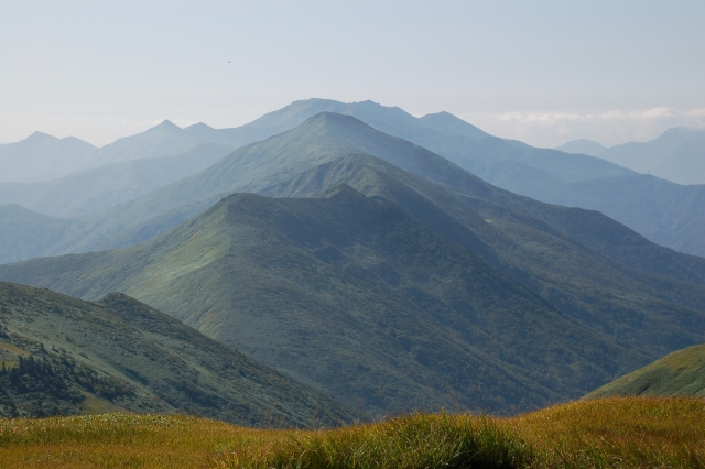
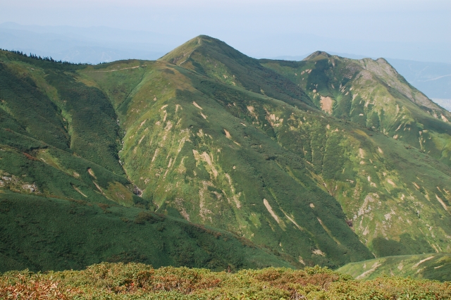
↑Mt. Makihata
↑
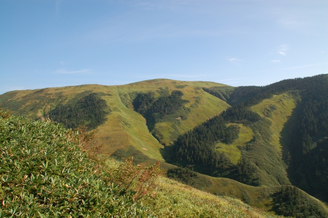
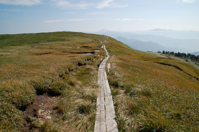
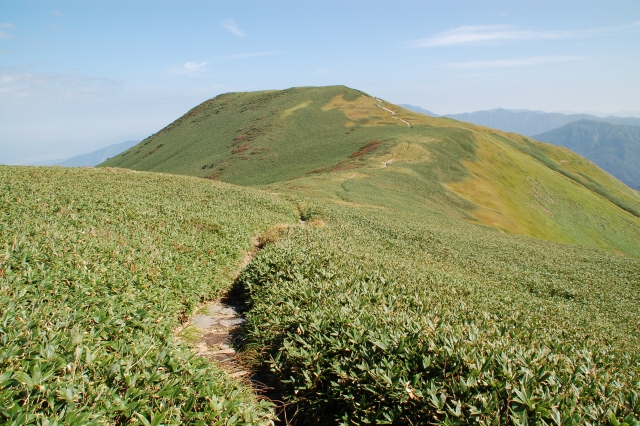
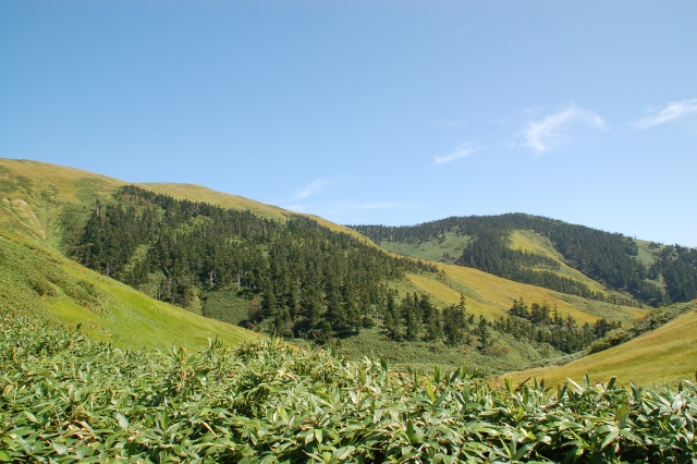
The mountain trail of the neighborhood of Mt. Nise-Makihata
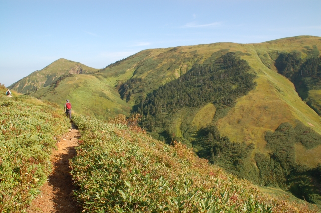
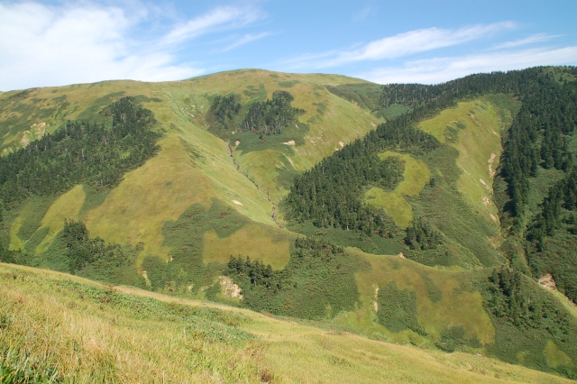
↑The Left mountain is Mt. Nise-Makihata
↑Mt. Nise-Makihata
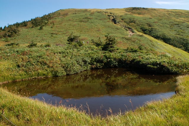
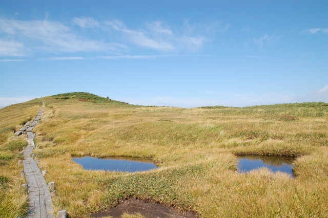
↑Marsh pond (Ryuo pond)
↑The weather is clear.
↑Mt. Ushigatake
↑Marsh pond (The back landscape is Tanigawa mountains.)
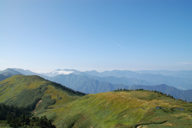
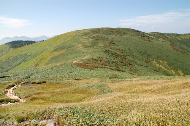
↑The ridge toward Mt. Asahi
↑The mountain trail toward Mt. Ushigatake.
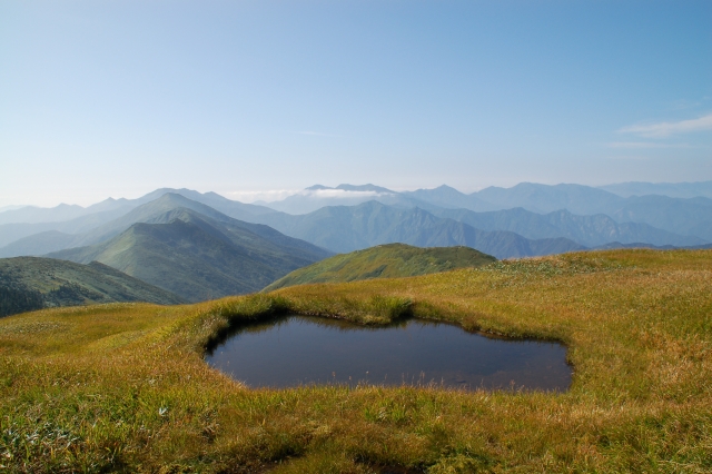
↑Marsh pond
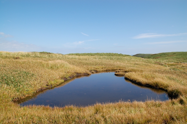
↑Marsh pond
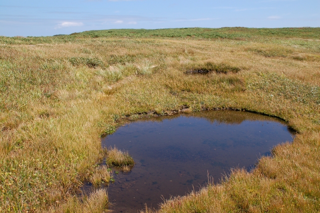
↑Marsh pond
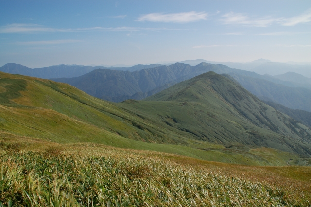
↑The mountains of Joetsu.
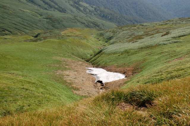
↑Remaining snow
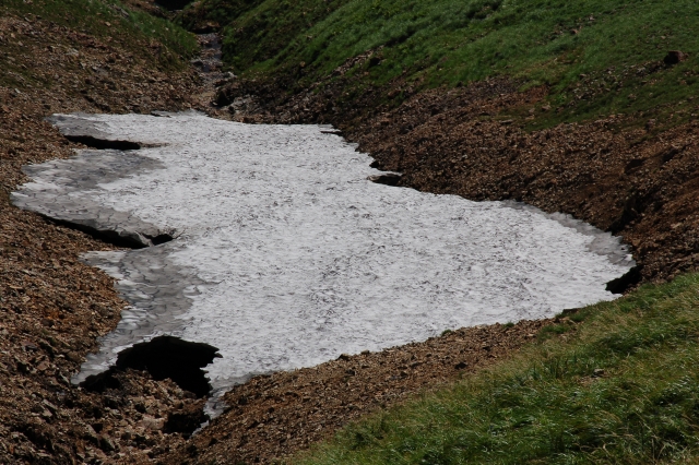
↑Remaining snow
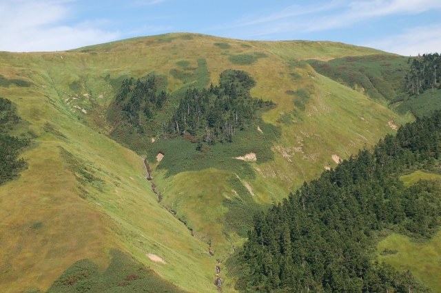
↑The mountain trail toward Mt. Ushigatake
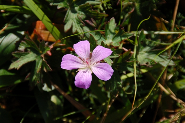
↑Hakusanfuuro
↑The view of the Ohataya area.
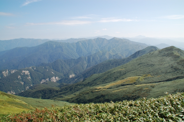
↑The view from the Mt. Ushigatake mountaintop.
↑Mt. Warimeki
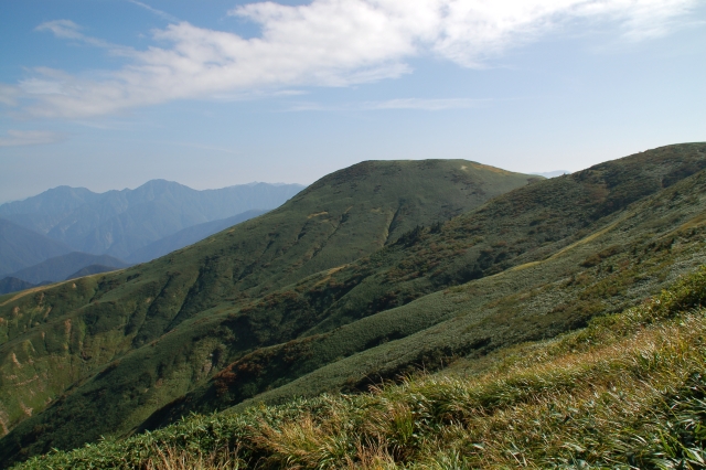
↑The ridge of Mt. Makihata.
↑Mt. Makihata
↑Mt. Makihata